
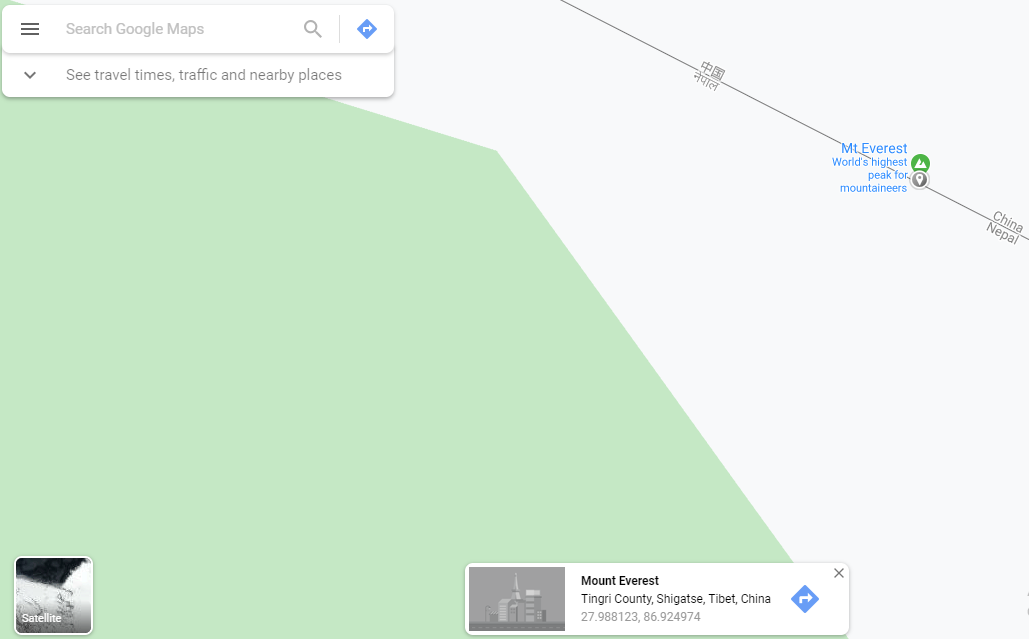
KATHMANDU: The Google Map has shown Mount Everest, the world’s highest peak, located in China.
When ‘Mt Everest’ was searched in Google Maps on Saturday, the map shows the result that Mt. Everest is in Tingri County, Shigatse, Tibet, China.
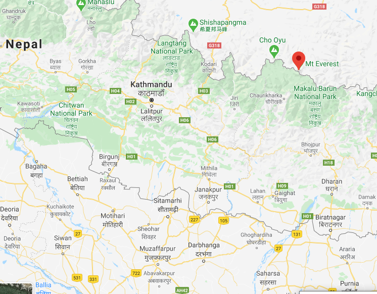
According to a 1960 Border Resolution Agreement, China and Nepal had decided that Mount Everest would be divided- the Southern slope would belong to Nepal and the Northern slope to Tibet, which China claims as a part of its territory.
It was also decided that the China-Nepal border would pass through the summit of Mount Everest, but now that Beijing wants to use the highest peak in the world for its 5G network.
It doesn’t even recognize the fact that Mt Everest lies in Nepal.
Meanwhile, The China Global Television Network (CGTN) had tweeted on May 2 claiming that the world’s highest peak, Mt Everest is in China.
The CGTN’s tweet comes at a time when China has sent a team of surveyors and scientists to Mt Everest to measure the peak amid an ongoing ban on climbing the summit because of the coronavirus pandemic.
The new measurement of the mountain, China claims, is aimed at resolving the question of whether the world’s highest peak had lost its height in the 2015 devastating earthquake that ravaged Nepal.
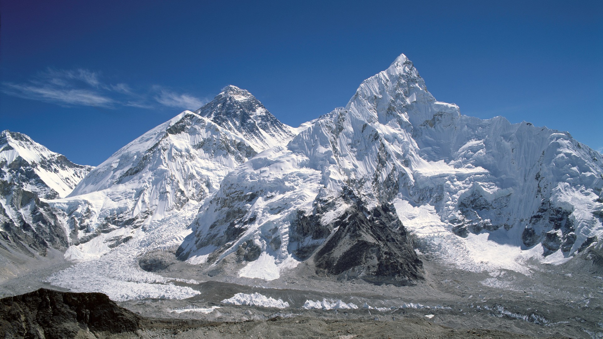
It should be noted that the widely-accepted elevation of Mt Everest, which straddles Nepal and China, is 8,848 meters (20,029 feet).
The expedition is likely to update the peak’s state of Mt Everest, and known as Qomolangma in the Tibet Autonomous Region.
Telecom giants Huawei and China Mobile have earlier announced they had installed 5G antennas at the base camp at the height of around 6,500 meters and at the lower base camp, at 5,300 meters and at 5,800 meters to help the survey.


Comment