
KATHMANDU: Hours after the government of Nepal issued an updated map of Nepal, including Kalapani, Lipu Lekh and Limpiyadhura, India termed the new map as ‘unacceptable’.
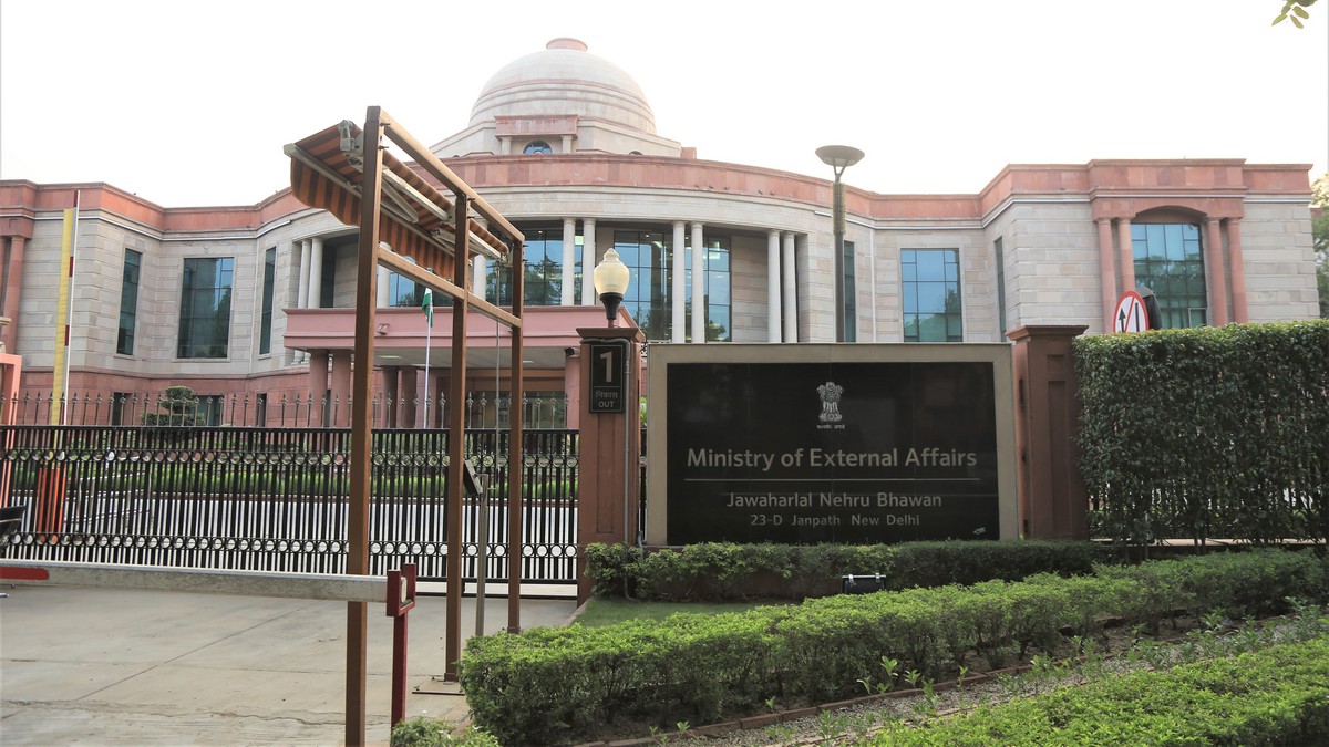
Responding to journalists’ queries on Nepal’s updated map, Spokesperson at the Indian Ministry of External Affairs (MEA) Anurag Srivastava said the map issued by Nepal on Wednesday is ‘not based on historical facts and evidence’.
He said it is contrary to the bilateral understanding to resolve the outstanding boundary issues through diplomatic dialogue.
Spokesperson Srivastava said India hoped that Nepal’s leadership will create a positive atmosphere for diplomatic dialogue to resolve the outstanding boundary issues.
“Such artificial enlargement of territorial claims will not be accepted by India, he added.
He said that Nepal is aware of India’s consistent position on the issue. He also urged the Nepal government not to assert on such unjustified cartographic assertion.
He also urged the government of Nepal to respect India’s sovereignty and territorial integrity.
It should be noted that India had last November published its new map with Nepal’s territory Lipu Lekh, Kalapani, and Limpiyadhura.
“We hope that the Nepalese leadership will create a positive atmosphere for diplomatic dialogue to resolve the outstanding boundary issues,” a MEA statement said.
It should be noted that on May 8, India’s Defense Minister Rajnath Singh had inaugurated a link road connecting the Lipulekh pass with Kailash Mansarovar route in China.
Soon after this, Nepal had protested against it. The two countries share some 1,800 km-long open border.


Comment