
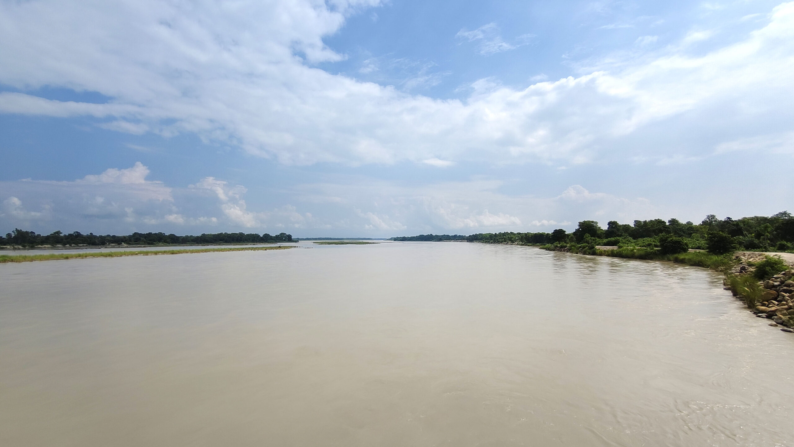
KATHMANDU: Tikapur Grand Park in Tikapur-5 is increasingly at risk of erosion from the Karnali River, with locals warning of potential threats to nearby settlements if timely interventions are not made.
Despite the dry season, the river has been rapidly eroding the park’s picnic area after changing its course, according to residents.
“If the monsoon arrives, the river could flow through the park and reach residential areas,” said local Singhraj Budhamagar. “It is already cutting through the park area. If this continues, nearby settlements could be severely affected.”
Authorities report that the river has deposited stones, gravel, and sand about 500 meters north of the park’s picnic area toward the Bardiya border, forming small island-like mounds. With the river now flowing toward Tikapur and the absence of a permanent embankment on that side, the risk of flooding and erosion into settlements has increased.
Chief Administrative Officer Suman Dhital said that unless the accumulated debris is cleared, the river could enter residential areas during this year’s monsoon.
“The municipality lacks sufficient resources to clean the river and build permanent embankments,” Dhital added. A request has already been forwarded to the District Disaster Management Committee for urgent action.
Tikapur Municipality has faced recurring threats from Karnali River erosion every year. Although the Rani Jamara Kulariya Irrigation Project has constructed embankments in several locations, concerns remain over their durability, especially those built using wire mesh.
Ward Chair of Tikapur-8, Dirgha Bahadur Thakulla, said that areas including the Ward No. 5 park zone and Ward No. 7’s Satti Karnali Community Forest face annual erosion. He noted that while embankment methods have shifted to large boulders after wire mesh structures proved unsustainable, investment in recent years has declined, increasing the erosion problem.
Information Officer Ram Krishna Ghorasaini explained that the previous wire mesh embankments were not durable, prompting a change in construction methods.
He added that although multiple embankment projects were carried out previously, work has slowed in the third phase due to the lack of World Bank support and limited budgets. Current work is focused on three locations, including the river intake areas.
Chief District Officer Hiralal Regmi stated that once a formal decision is received from the local disaster management committee, the District Disaster Management Committee will take necessary measures to protect life and property.
“We will coordinate with all stakeholders and take appropriate steps to prevent disaster-related losses,” Regmi said, stressing the importance of sustainable embankment solutions.
Since the Karnali River forms the boundary between Kailali and Bardiya districts, authorities have emphasized the need for inter-district coordination to manage the growing risk of erosion and flooding effectively.


Comment