




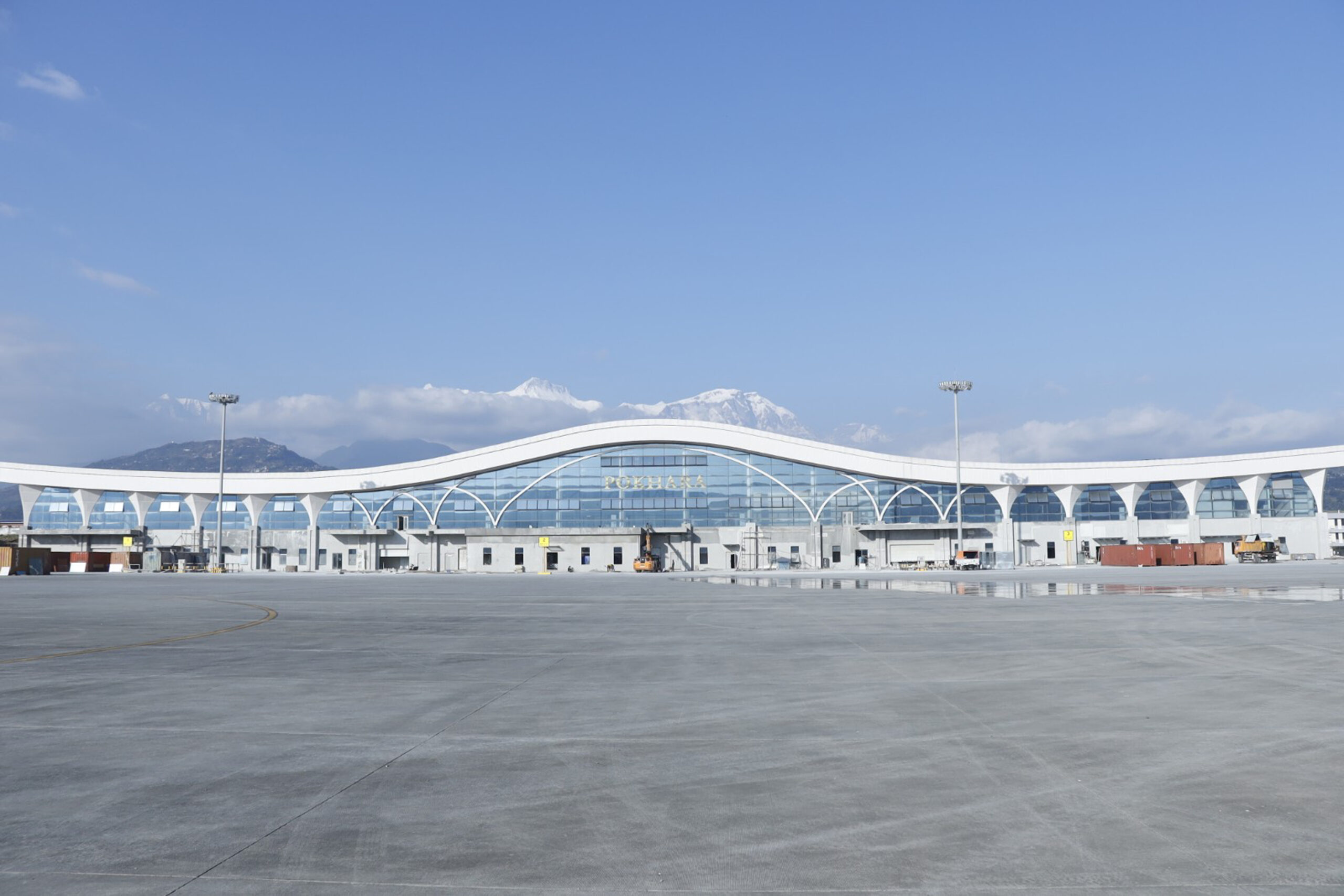
KATHMANDU: The process of introducing an advanced air navigation system at Pokhara International Airport has moved forward to reduce flight disruptions, diversions and cancellations caused by adverse weather and poor visibility.
The Civil Aviation Authority of Nepal (CAAN) has begun technical studies to implement the Required Navigation Performance Authorization Required (RNP-AR) approach and landing procedure at the airport.
According to CAAN, a preliminary study for the system has been completed. The airport currently operates a radio-based navigation and landing system. However, its geographical location, surrounding hilly terrain and technical and operational limitations pose challenges to flight operations during adverse weather and low visibility.
To address these challenges, CAAN has prioritised the development and implementation of satellite-based navigation and landing systems. The preliminary study for introducing the RNP-AR system at Pokhara International Airport is part of this initiative.
The system will require detailed procedure design, technical validation, safety assessments and approval under existing regulatory standards before it can be implemented.
Once operational, the system is expected to facilitate flights during low-visibility conditions and reduce diversions to other airports, failed landing attempts and cancellations.
The initiative is also expected to help provide passengers with more regular, reliable and safe air services.
Minister for Culture, Tourism and Civil Aviation Khadak Raj Poudel (Ganesh) described the move as an important step towards making air services in Pokhara safer, more regular and more reliable.
“The process of implementing the RNP-AR landing procedure at Pokhara International Airport has moved forward. It is expected to help reduce flight disruptions, diversions to other airports and cancellations caused by adverse weather and poor visibility,” Poudel said.
CAAN has reiterated its commitment to improving the safety, regularity, efficiency and reliability of air transport through the development and implementation of modern, technology-based navigation systems.






Comment