
KANCHANPUR: Red flags flutter atop thatched and tin-roofed houses in the river-bound settlement of Kutiyakabar, sending a silent but powerful message.
These flags are more than just fabric—they’re a grassroots warning system and a symbol of community preparedness in the face of recurring floods.
Each red flag signals a house at risk, with unique symbols indicating the presence of children, people with disabilities, the elderly, or pregnant women.
“Every house here has a red flag,” said local resident Rupa Sunar. “Houses with children have pictures of children, those with people with disabilities display relevant symbols, and those without children or elderly residents have plain red flags. This helps identify who needs priority during rescue operations when floods strike.”
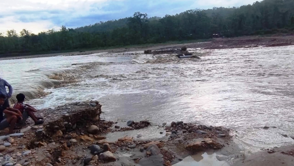
Kutiyakabar, an island-like settlement in Dodhara Chandani Municipality, is surrounded by the Jogbuda River on three sides and the Mahakali River on the fourth. The area faces flooding every year, putting the entire community at risk.
In response, locals—prompted by the government’s designation of seven wards, including Ward No. 10, as disaster-prone—have taken disaster preparedness into their own hands.
They’ve created risk maps and marked homes with red flags to guide rescuers. The initiative helps ensure that emergency teams know exactly who is in each home and which households require urgent assistance.
“We’ve identified the most at-risk settlements and marked each house with visible flags,” said Nirmala Sunar, a local involved in the initiative. “This system will support faster and more efficient rescue operations when floods occur.”
According to Ward Chair Chandra Bahadur Singh of Dodhara Chandani-10, 45 homes have been flagged in the area as part of this disaster response effort.
He said that symbolic red flags have been installed in vulnerable communities across settlements like Kutiyakabar, Shanti Tole, Surkheti Tole, Eighteen Pillar Basti, Sundarnagar, Kanjbhoj, Baduwal Tole, Dhaknaghat, Pragati Tole, and Patrakhalla.
Flooding and riverbank erosion, especially from the Jogbuda and Mahakali rivers, have heavily impacted this region year after year. Once home to 49 families, Kutiyakabar now houses only 39, as residents flee to India or other safer areas in search of stability.
Located at the confluence of the Mahakali River to the east and the Jogbuda River to the north, Kutiyakabar is also bordered by India to the south.
Since the construction of a suspension bridge over the Jogbuda in 2017, erosion in the area has worsened. The original settlement, which covered around 50 bighas of land, continues to shrink annually due to river encroachment.
Despite the danger, the red flags stand as a testament to the resilience and proactive spirit of the community. Through local effort and shared awareness, these villagers are doing everything they can to face disaster with preparedness and unity.


Comment