
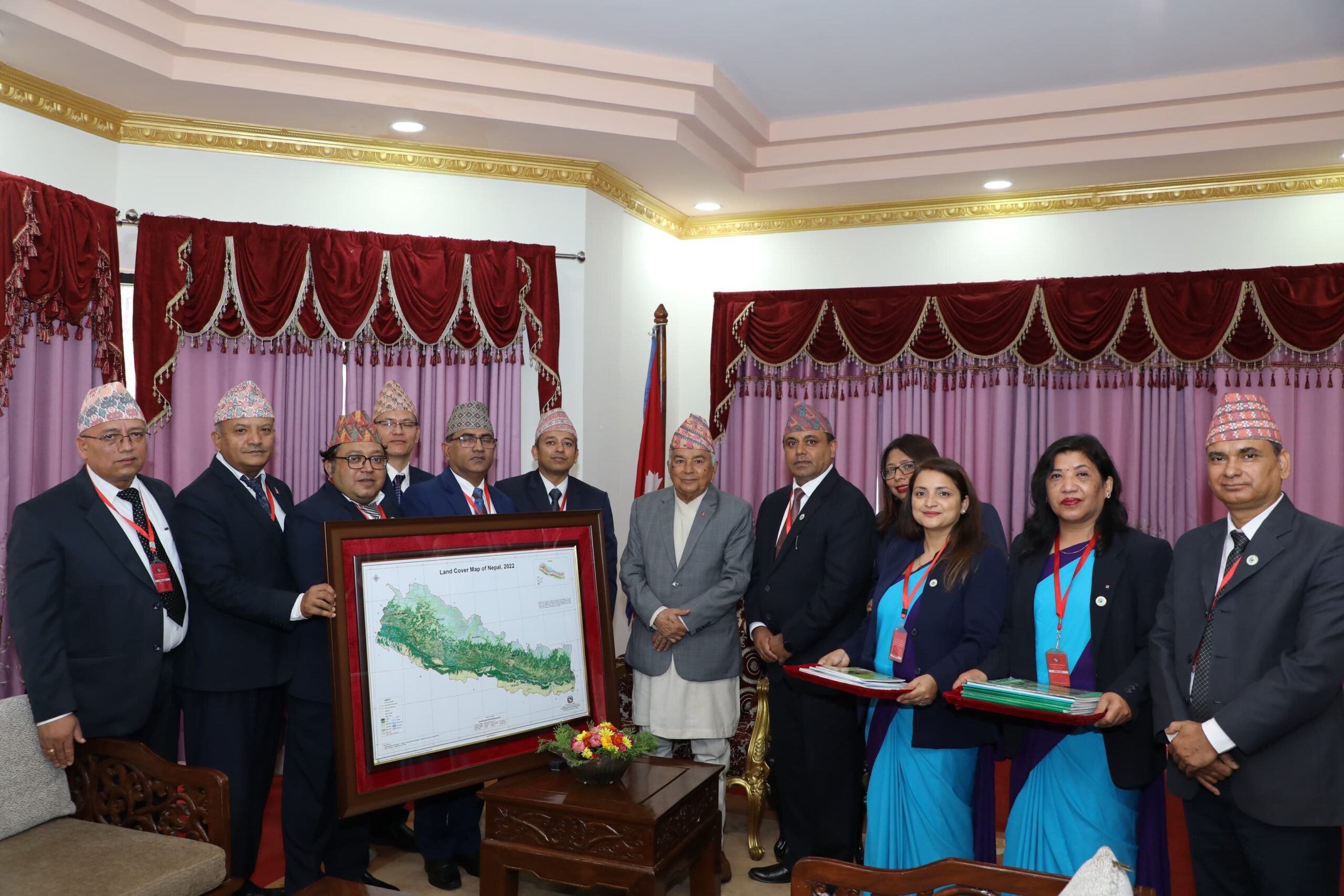
KATHMANDU: President Ram Chandra Paudel officially launched the National Land Cover Map 2020–2022 at a ceremony held Tuesday at the Office of the President, Shital Niwas.
The map, published by the Forest Research and Training Centre under the Ministry of Forests and Environment, was handed over to President Paudel by the Centre’s Director, Dr. Rajendra KC.
Speaking at the event, President Paudel highlighted the need to ensure that forest conservation efforts reflected not just on paper but also in the field. He stressed the importance of balancing forest-based economic activities with strict forest protection measures.
According to the newly released map, forests cover 46.08% of Nepal’s total land area. Bagmati Province has the highest forest coverage, with 58.62% of its land classified as forested.


Comment