
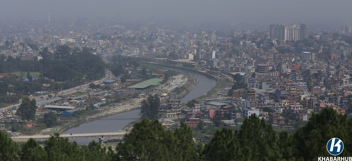
KATHMANDU: Kathmandu Metropolitan City (KMC) has digitally mapped 2,040 roads, streets, lanes, and alleys using geographic information and satellite images.
According to Survey Officer Engineer Ashok Shrestha, the mapping and naming process of 2,578 roads, streets, and alleys has been updated through the Kathmandu Valley Mapping Program, which was initially launched in 2002.
In the earlier phase of the program, 80,000 households were assigned numbers based on the metric system. Shrestha noted that drone images are now being used to digitize roads, streets, and alleys that could not be accurately mapped through satellite images.
The metropolis has undertaken the mapping project using the Geographic Information System (GIS) to prepare an inventory of roads, assign scientific and original names, and document road-related infrastructure. The project, which began in December 2018, is being carried out by a team of five GIS engineers and five senior surveyors.
Hiralal Tandukar, coordinator of the building management committee, stated that the mapping initiative was necessary because previous information had not been automatically updated, requiring extensive effort to retrieve and organize data.
Ward chair Dal Bahadur Karki mentioned that there have been demands at the ward level to rename roads, paths, streets, and squares, emphasizing the need for a coordinated and sustainable approach.
The metropolis aims to compile a comprehensive inventory of roads, including their original and scientific names, road networks, traffic and waste management plans, emergency services, and other essential details.
The plan also involves integrating roads previously mapped under the Kathmandu Valley Mapping Program, collecting data on road-connected structures and infrastructure, and assigning original and scientific names to roads.
Additionally, the revenue department will use the mapped data to determine scientific revenue collection methods. The information will also support tourism promotion by providing the heritage and tourism department with accurate details for planning in heritage areas.


Comment