
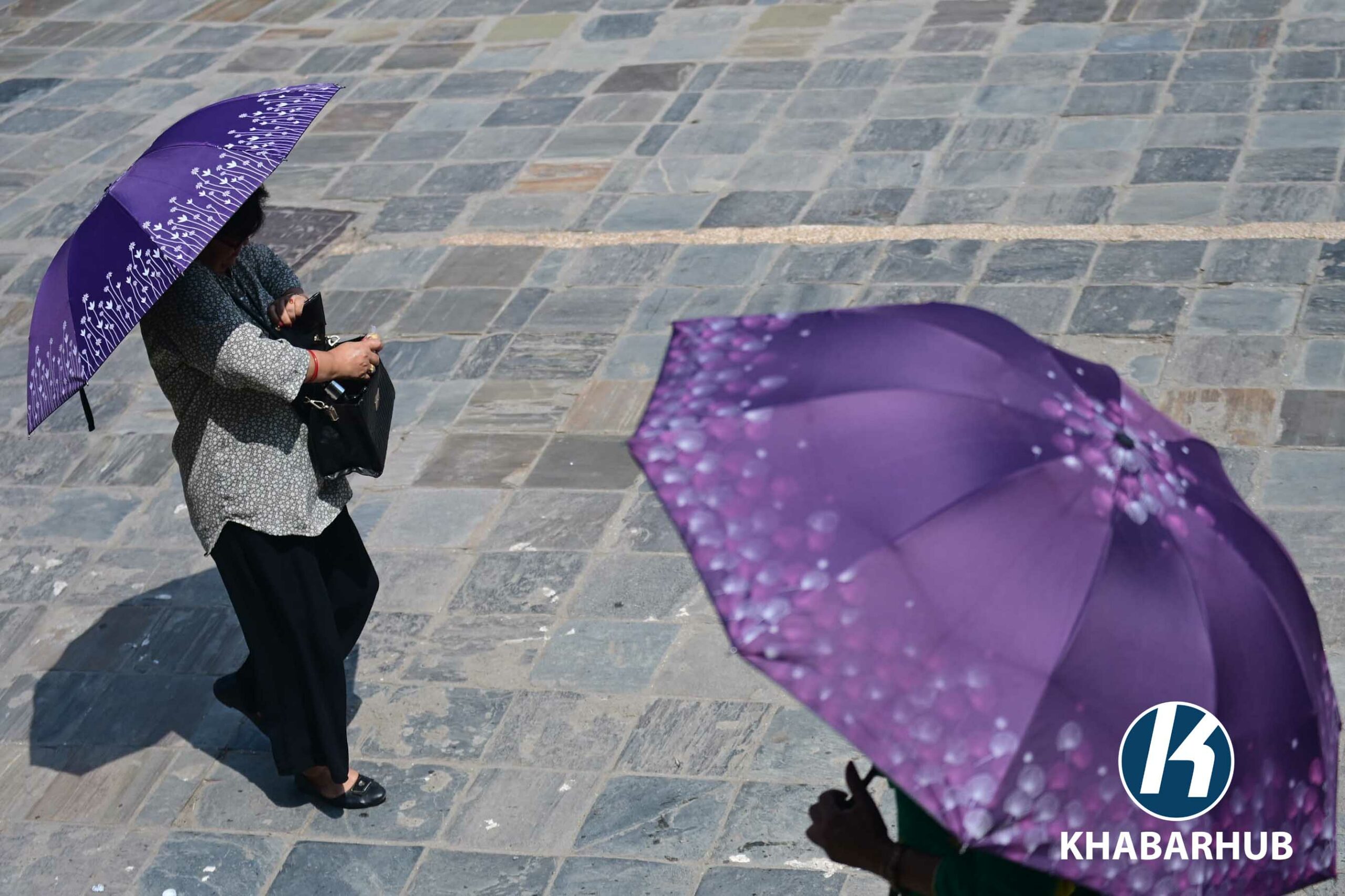
KATHMANDU: Temperatures in Kathmandu and across the country are on the rise as the monsoon struggles to move westward. Kathmandu recorded a maximum temperature of 31°C today, with no rainfall in sight for the capital just yet.
Although this year’s monsoon was expected to arrive early, the Department of Hydrology and Meteorology says the weather system has stalled after reaching eastern Nepal. Meteorologist Pratibha Manandhar explained that while the monsoon has already entered up to the Koshi region, it has not progressed further due to the dominance of westerly winds.
She said that monsoon winds typically flow from east to west, but for most of the year – around eight months – the westerlies dominate, making it difficult for the monsoon to spread without a shift in upper atmospheric patterns.
“Monsoon winds need to push the westerlies northwards, toward the Tibetan plateau, for them to move west. Currently, the strong westerlies are preventing this shift,” Manandhar said.
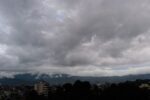
Some cloud buildup has begun, and the monsoon could reach Kathmandu within two or three days. She added that the monsoon is likely to spread across the country by the first week of Asar (mid-June).
Nepal’s average monsoon entry date is around June 13, meaning there’s still a few days before the typical onset. “Last year, it took about 15 days for the monsoon to spread from east to west. Temperatures then had reached 35°C in Kathmandu, which is higher than what we’re experiencing now,” she noted.
The delayed advance of monsoon winds is the main reason for rising temperatures, Manandhar said. As soon as the monsoon progresses westward, temperatures are expected to drop.
Nepal lies in the sub-tropical zone, where westerly winds dominate most of the year. The easterly flow typical of the monsoon only occurs during the rainy season, making it more challenging for moisture-laden winds from the Bay of Bengal to move across the country without resistance.


Comment