
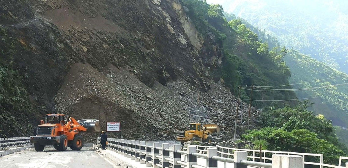
DHADING: With continuous rainfall, 16 locations along the Dhading stretch of the Prithvi Highway and Tribhuvan Highway have been identified as being at high risk of landslides.
A joint monitoring conducted today by the District Disaster Management Committee and technical teams revealed major risks of landslides and road collapses along these key routes leading into the capital.
Superintendent of Police Bheshraj Rijal of the District Police Office urged the public to remain in safe areas, saying that travel along the highway is not currently feasible. He said the highest risk has been recorded at Jwankhola in Benighat Rorang Rural Municipality–10.
Other vulnerable points include the old landslide area of Jhyaple Khola, Surungmarg, road collapse at Char Kilo, Sat Kilo, Kamere Bhir, Mahesh Dobhan with the possibility of mud and water flow, Chiraudi Bridge, Jarkhet Bridge, Galaudi Bridge, Parewa Bhir, Hilltop Curve, Bandre Curve, Krishna Bhir, and Laltin Bazaar.
The disaster management team stated that with further rainfall, other sites could also face immediate landslide risks. Vehicles halted due to landslides are being cleared and gradually sent towards their destinations.
Chief District Officer Bijay Raj Subedi said vehicles have been restricted from entering high-risk areas, while only emergency vehicles are being allowed to pass under security supervision.
The District Disaster Management Committee, in coordination with the Department of Roads, police, and local authorities, said risk mitigation efforts are ongoing.


Comment