
KATHMANDU: India on Thursday said the new political map of the country did not revise anything as far as the border with Nepal is concerned.
The response came after Nepal’s foreign ministry complained that the map depicted the Nepali territory of Kalapani as part of the Indian state of Uttarakhand, Indian media reported.
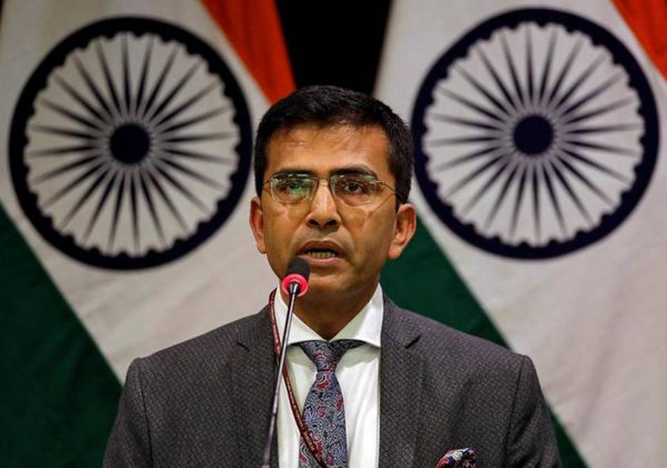
“Our map accurately depicts the sovereign territory of India. The new map has in no manner revised our boundary with Nepal. The boundary delineation exercise with Nepal is ongoing under the existing mechanism. We reiterate our commitment to finding a solution through dialogue in the spirit of our close and friendly bilateral relations,” said Raveesh Kumar, Official Spokesperson of the Indian Ministry of External Affairs.
Nepal on Wednesday had formally protested over the issue. A press release by the Ministry of Foreign Affairs of Nepal said Kathmandu is committed to protecting Nepal’s territorial integrity.


Comment