




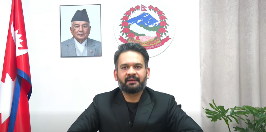
KATHMANDU: The government has appealed to drone pilots, operators, organizations and media outlets to provide aerial photos and videos captured in flood- and disaster-affected areas.
The government is working to integrate aerial imagery, videos and mapping data collected by drones in affected areas. Various forms of data captured during floods and other disasters have already started to be collected through a centralized system.
The collected data will be verified, and necessary information will then be shared with the National Disaster Risk Reduction and Management Authority (NDRRMA) and other relevant agencies to support disaster response and decision-making.
For this purpose, the government has made a Google Form available for drone pilots, operators, organizations and media outlets to submit their footage and photographs.
The initiative aims to make use of data that has already been collected and avoid the need for additional resources to gather the same information.



Comment