




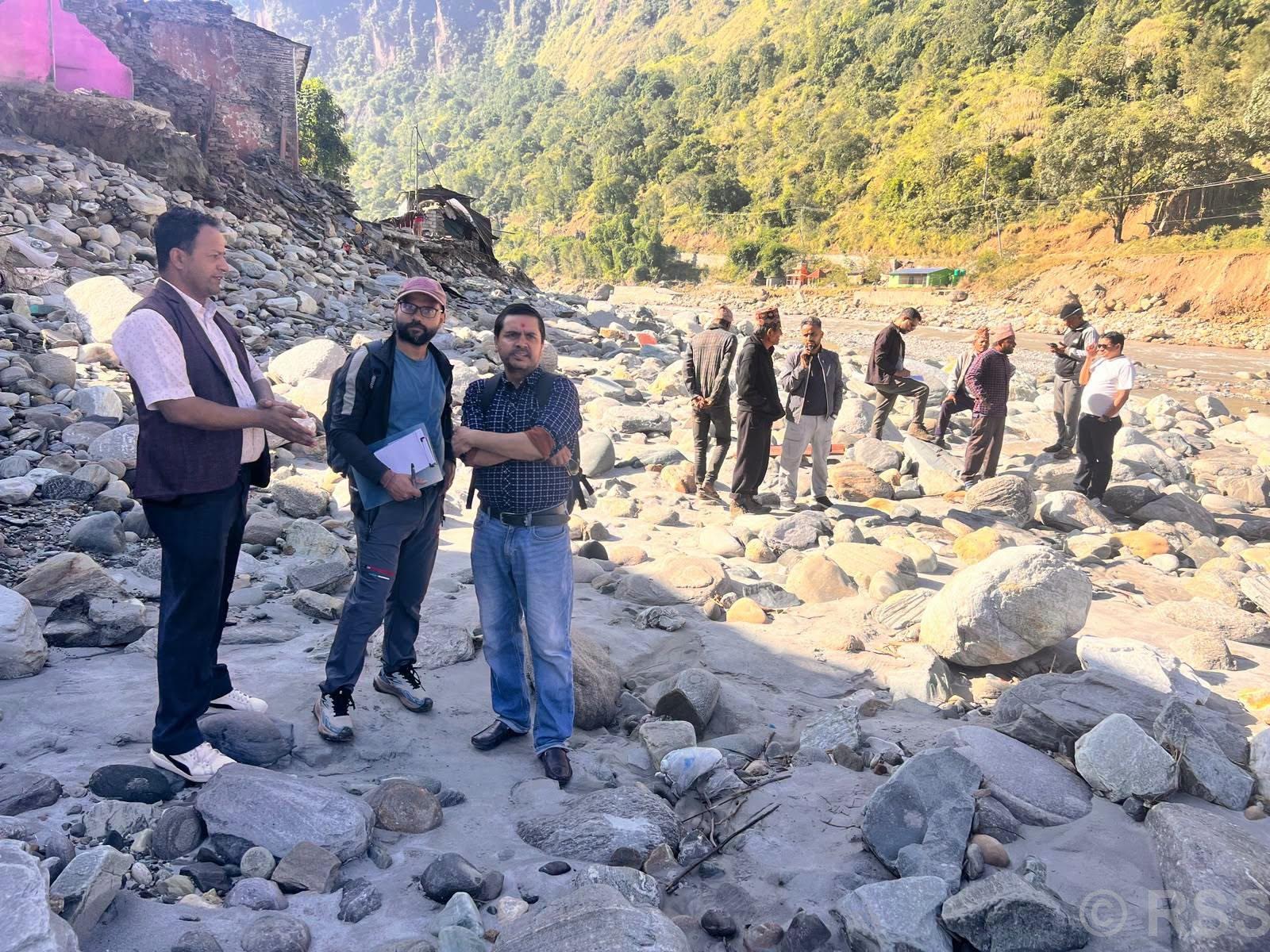
MYAGDI: A team of geologists has conducted a geological assessment of landslide-affected areas in Jaljala Rural Municipality of neighbouring Parbat district, which suffered extensive damage during the recent monsoon-induced disasters.
The team, comprising geologists, local representatives and technicians from the National Disaster Risk Reduction and Management Authority, inspected settlements damaged by landslides as well as areas considered vulnerable to further disasters.
A team including geologists Suman Pandey and Sandesh Regmi inspected landslide-affected areas in Farse, Kirakhor, Khanigaun and Tangwang on Tuesday, according to Jaljala Rural Municipality Vice-Chairperson Deepak Acharya.
“The team will conduct further assessments in Kerabari, Pulchowk and Bhedabari,” Acharya said.
He said the authority had deployed the geological assessment team following a request from the rural municipality and a recommendation from the District Disaster Management Committee to identify additional risks in disaster-affected settlements.
Acharya said reconstruction work would move forward based on the recommendations of the geological assessment report.
During the inspection, the team visited damaged and vulnerable settlements, collected soil and rock samples, captured aerial photographs using drones, and gathered audio-visual evidence. It also held discussions with disaster-affected residents.
According to Acharya, 316 houses in Jaljala were affected by floods and landslides triggered by recent heavy rainfall, which caused the Kaligandaki River to swell.
Rural Municipality Chairperson Raju Prasad Acharya said preliminary assessments showed that 126 houses had been completely destroyed, 50 partially damaged and another 140 were at risk.
In addition to residential properties, the disasters caused extensive damage to agricultural land, roads, drinking water and irrigation systems, as well as infrastructure built to protect settlements. Crops including millet and paddy, along with orange orchards, also suffered significant losses.
The highest number of houses were destroyed in Ward No. 8 of Jaljala Rural Municipality, where 75 houses were swept away and another 27 were identified as being at risk, according to the chairperson.
Displaced residents who have no alternative homes and cannot arrange accommodation on their own have been relocated to temporary shelters.
Tangwang and Khanigaun in Ward No. 7 were also severely affected by landslides, while Lamakhet in Ward No. 4 suffered damage from flooding along the Kaligandaki River.
Chairperson Acharya said 35 families from Tangwang and Khanigaun had been displaced by the landslides.
He added that basic relief materials had been distributed in the affected areas and that plans for both short-term assistance and long-term rehabilitation were being implemented.





Comment