
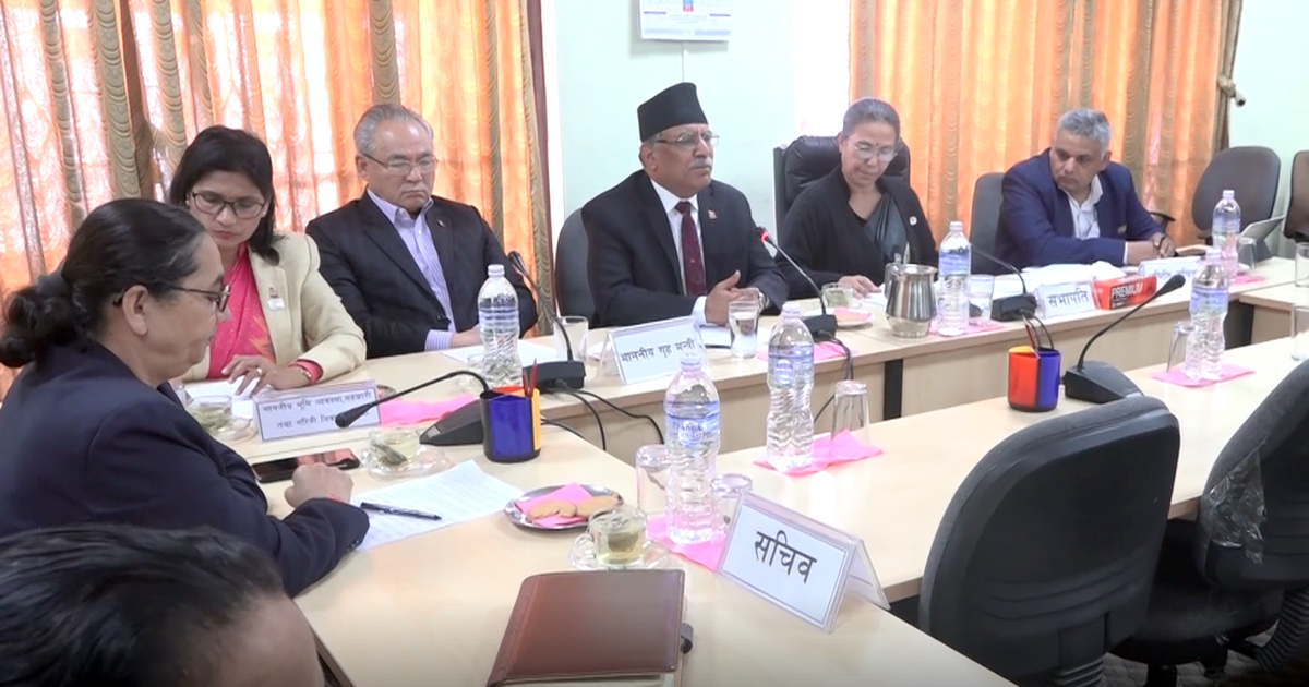
KATHMANDU: The State Affairs and Good Governance Committee of Parliament on Monday directed the government to issue a new map of Nepal by incorporating land encroached by India including Kalapani, Lipulekh and Limiyadhura.
The meeting was summoned to discuss the new political map unveiled by India by incorporating Nepali territories. The house panel had summoned Prime Minister KP Sharma Oli to the meeting which he didn’t attend owing to a health issue.
Minister for Land Management Padma Aryal who attended the meeting as PM’s representative accepted that the map that Nepal has been using is flawed, adding that Kali River (Kutiyandi) that flows from Limiyadhura is a border between Nepal and India.
Nepal Communist Party (NCP) Chairman Pushpa Kamal Dahal who was also present at the meeting suggested that it would be unwise to immediately internationalize the border encroachment issue.


Comment